The following was a result of me trying to figure out two areas I saw while viewing the following on YouTube: Drone Berlin, Germany City & Berliner Fernsehturm *For me, it was difficult to see where the Berliner Fernsehturm was shown on this video. In re-watching, I think I see where.
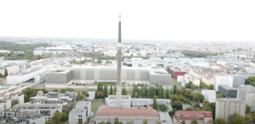
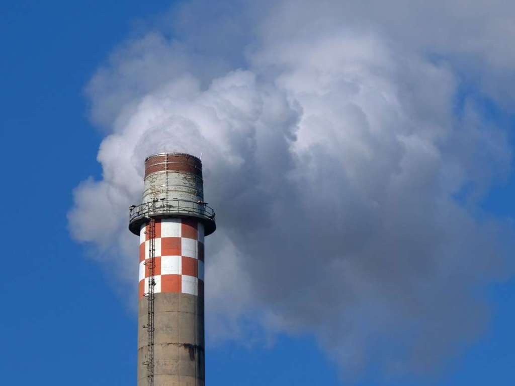
I knew nothing about the above, either the tall smokestack, or the large building located behind it when I first viewed the above video.
The video then pans to the right showing the following:
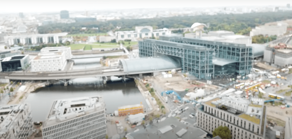
I knew the above had to be a Bahnhof but I didn’t recognize it on any of the Spree River that I was already familiar with. The bluish tint to the building and that it was next to the river would seem to make it easy to recognize on Google Maps, but no.
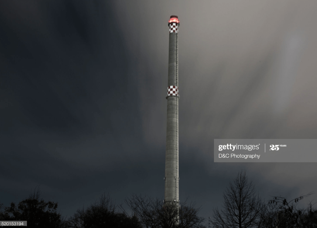
A Google search for “Berlin smokestacks” helped me find the above.
The below image was what finally gave me enough information to go to Google Maps and find where the smokestack was located:
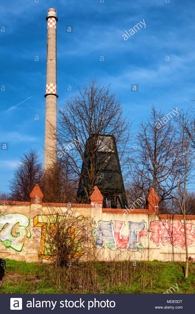
Berlin Mitte. Graffitti covered wall of Invaliden Cemetery, old industrial chimney and blue sky
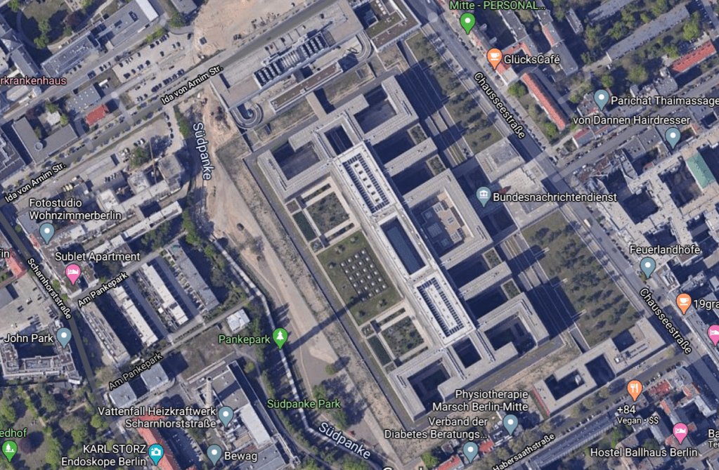
I found the smokestack casting its long shadow in Google Maps. I then went to StreetView and found the following of interest:
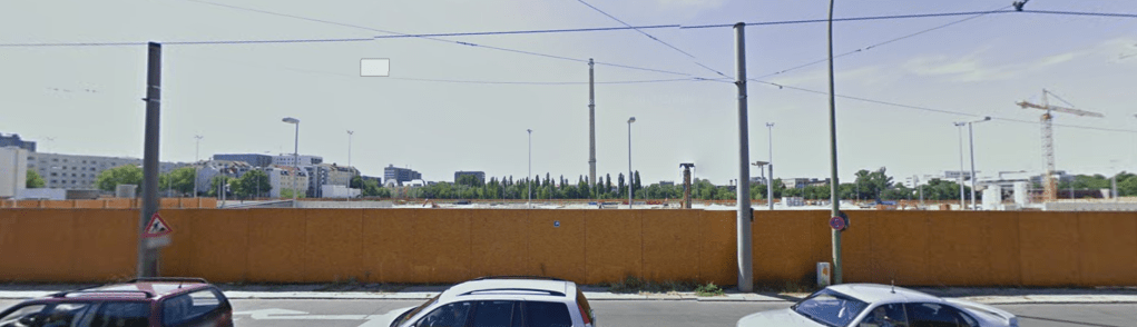
The current Google StreetView shows the smokestack, but these images were taken before much construction had been completed (after c2006). I used StreetView from a side street to get the below (more construction):

Much more construction but somewhere before 2017 when construction was completed.
Wir sind der Bundesnachrichtendienst. [As the web site is today.] Facility images.

Finding the specific area of the smokestack, and knowing the drone video turned right, it was easy to find the nearby “Einkaufsbahnhof Berlin” on Google Maps, and then from StreetView:
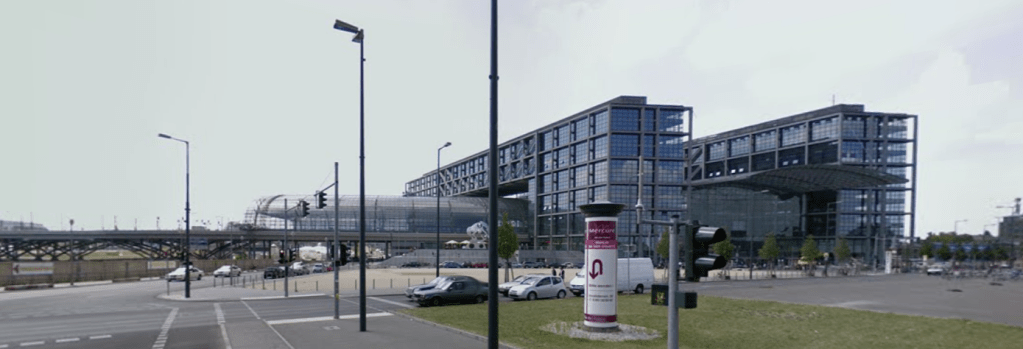
ADDENDUM: Funny, it took me a long time to realize that this is actually the main train station in Berlin. It is a major shopping center, and trains to/from other cities go through here, U-Bahn and S-Bahn. The YouTube videos give an excellent tour and impression of this facility.
