| Miles from 323 Foothill Ln. | |||
| 0 | |||
| 5.1 | 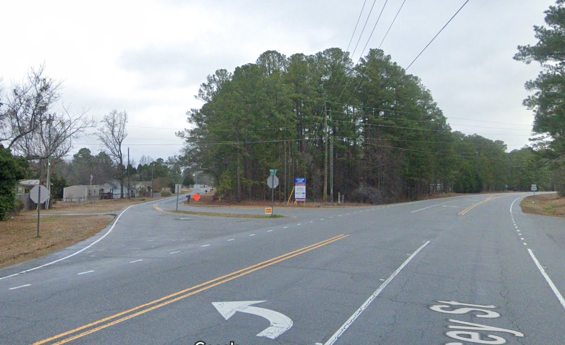 |  | Turn onto shortcut. |
| 6.8 | 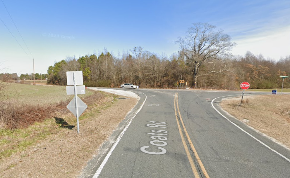 | | Stop, then turn left on W. Reeves Bridge Rd. |
| 10.9 | 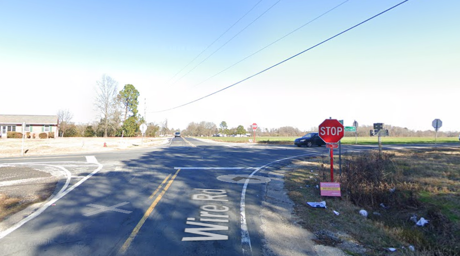 |  | Stop, then straight ahead. |
| 11.9 |  |  | Stop, then turn right on McNeill Hobbs Rd. |
| 12.1 | 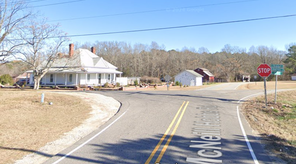 | | Stop, then turn left on 401. *The shortcut is 7 miles & takes about 9 minutes & 10 seconds. **Remaining on Hwy 401, it only takes 9 minutes and 1 second. The shortcut is a mile shorter, but takes slightly longer to drive. |
| 17.9 | Stop, if 1st light in Lillington is red. | ||
| 18.4 | Light at downtown Lillington. | ||
| 19 | Bridge over the Cape Fear River. | ||
| 20 |  | Left at light. | |
| 25 | Kipling | ||
| 25.8 | | Turn right. | |
| 28 | | Turn right. | |
| 28.6 | | Turn left | |
| 29.8 | Stop then straight. | ||
| 30.6 | Stop then straight. | ||
| 32.5 | | 4 Way Stop, turn left. | |
| 33.6 | | Turn right. | |
| 34.7 | | Fuquay-Varina turn right at light. | |
| 38.2 | | Turn left, just after John Hiester Chevy just over sharp rise & dip. | |
| 42 | Light at Ten Ten Road | ||
| 45.6 | Yates Mill | ||
| 47.3 | Light at Tryon Rd. | ||
| 48.5 | The Beltline. | ||
| 49.1 | State’s Farmers’ Market | ||
| 51.1 | | Light at NCSU, turn left. | |
| 53.1 | Whole Foods parking lot. | ||
I timed the drive on the shortcut and then the regular route for that same start/end points. To my surprise the regular route, although about a mile longer actually took about 9 seconds less than the shortcut. 9:21.30 for the shortcut and 9:01.20 for the regular route. That’s nine minutes, twenty one and a half seconds.
